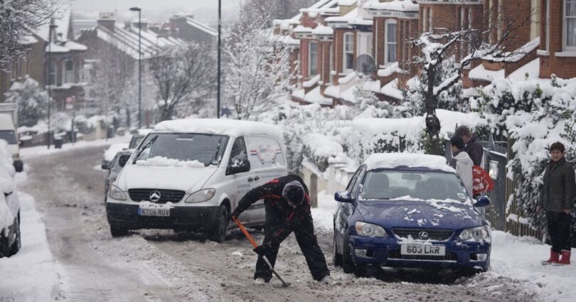
Britain will be hammered by a 742-mile Arctic bomb as the latest weather maps have turned purple from top to bottom indicating the possibility of snowy conditions.
Weather maps from WXcharts suggest that the country will be hit by the freezing conditions on January 1 as the temperature levels plummet to -8C in some areas.
According to the weather maps, the most heavy layers of snow are likely to accumulate on areas around Wick with around 5cm of snow per hour.
The remaining parts of the country will see snow depth around 1-3cm. However, the entire country is likely to witness shivering conditions with temperature levels staying relatively low, maps suggest.
WXCharts maps show areas around Cardiff and Birmingham will see the extreme temperatures as the mercury levels drop to -8C.
Areas such as Manchester and Newcastle may see temperatures oscillating between -4C to -3C, maps suggest.
Brian Gaze, founder of The Weather Outlook told Express.co.uk: « The weather may be on a rollercoaster ride this festive season and into the New Year.
« Christmas Day is shaping up to be mild, or even very mild, with some computer models suggesting that a foehn effect (a phenomenon where warm, dry winds descend on the sheltered side of high ground, leading to a rapid rise in temperature) could push temperatures high enough to challenge records for December 25th.
« However, as we move towards the New Year, there are signals that high pressure may build further north. If that happens much colder air could sweep southwards, increasing the likelihood of wintry conditions and snow. »
The unsettled weather conditions come days after the Met Office issued weather warnings of stormy conditions for various parts of the country.
Five yellow warnings has been issued by the Met Office on Tuesday for areas covering the East Midlands, Yorkshire & Humber, North West England, North East England, and Dumfries, Galloway, Lothian & Borders.
Meanwhile, the Met Office’s long-range forecast between December 31 and January 14 reads: “Changeable, with spells of wet and windy weather interspersed with some drier, more settled interludes.
“The heaviest rain and strongest winds will generally be in the north, with the south drier and less windy overall.
“Temperatures will likely vary around average, but with a trend toward milder conditions favoured, especially in the south. Some snow is possible during any colder interludes, especially over high ground in the north.”
Looking at the week ahead, the Met Office predicted that outbreaks of rain will soon spread into Northern Ireland and Scotland, before moving erratically eastwards into Wales and western England during the afternoon. Elsewhere, it will remain largely dry but often cloudy. Temperatures will feel mild; however, winds will strengthen throughout the day, particularly in western regions.
Tonight will bring a windy period, with rain spreading across all areas. The heaviest and most persistent rain is expected over western hills, while clearer yet showery conditions will develop in the northwest later.
On Wednesday, the north will experience a blustery and colder day with widespread showers. Southern areas, in contrast, will see a band of wind and rain moving northeastwards, though it will remain mild here.
Looking ahead from Thursday to Saturday, conditions will turn colder for all on Thursday, with sunshine and showers following early rain in the south. By Friday, temperatures will rise again, but the weather will stay unsettled and often windy, with further spells of rain likely.
Source link


