The UK could see snow as soon as next week, as the latest weather models predict a snowy start to the festive period for certain regions around the UK. According to new charts from weather forecasters at WX Charts, wintry weather could provide the setup for a white Christmas with patchy snow predicted to fall across England, Scotland and Wales as the mercury plummets to below zero.
The model has predicted bands of rain moving south across the UK on Sunday, December 21, with colder air in place, allowing some of that drizzle to turn to snow. At 6pm the flurries are expected to begin to rain down on areas in South Wales, including around Swansea and further north in Snowdonia.
Moving east, the Cotswolds can expect a covering with areas around Gloucester and Cheltenham, and also forecast some flurries.
Elsewhere, parts of Greater Manchester, particularly around Bolton and Warrington, have also been forecast a smothering of the white stuff, while high ground in the Scottish highlands can also expect to be dealing with snow.
Outside of the wintry showers, the weather is set to take a turn as the recent wet, mild and settled weather is set to move in the wake of an area of high pressure – bringing the likes of cold, dry and wintry weather.
Temperatures are forecast to fall close to freezing for many, with WXCharts indicating 0C widely and as low as -2C in parts of Scotland.
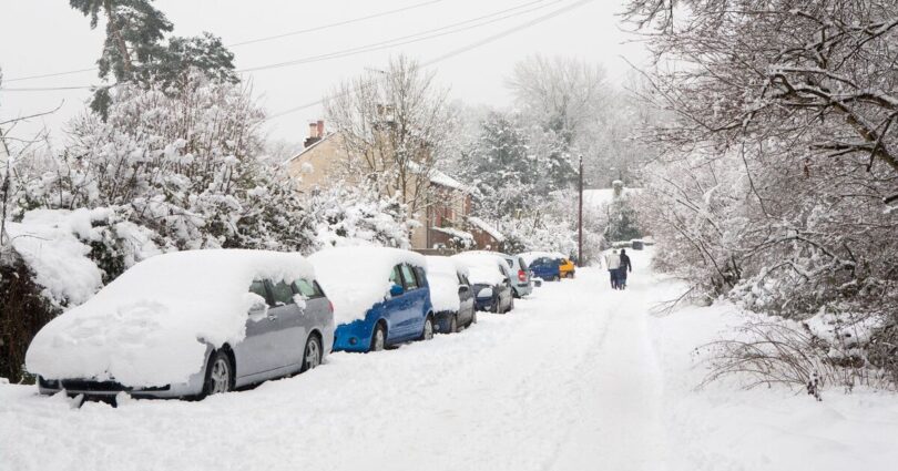
While a sustained pile-up of snow is unlikely, the worst-affected areas have been predicted to be facing a snow depth of around 20cm.
In the Met Office long-range forecast for this time, the weather experts have also predicted a drop in interest, but instead of snow, they warn of overnight frosts and morning fog.
For the period running from Friday, December 19, until Sunday, December 28, the forecast said: “Into the following week, high pressure is expected to become more widely established.
“Winds will be light and clearer skies are likely; however, this does not rule out the odd shower, especially around coasts.
“High pressure and settled weather will result in temperatures falling to closer to average, with overnight frosts and morning fog which could be slow to clear.”
Source link