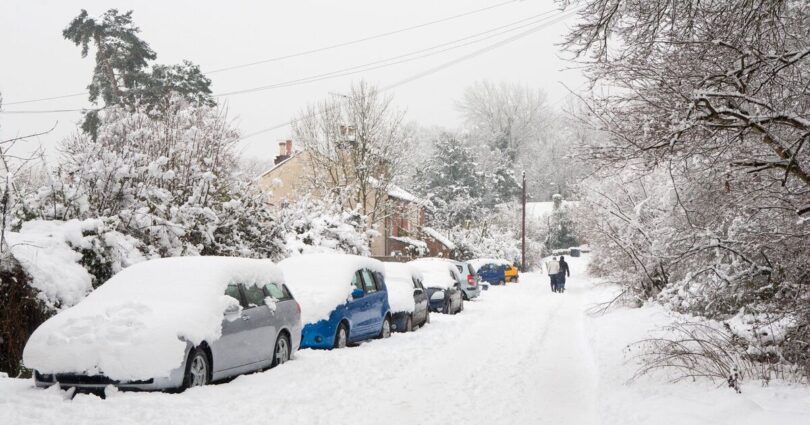
Parts of the UK are likely to wake up to surprise snow as the latest weather maps show blizzards hitting several parts of the country in hours. According to WXCharts weather maps, the wintry conditions will hit areas in England, Scotland and Wales at around 12 noon on Saturday (March 28) with the temperature levels plummeting to -2C.
The weather maps show that most areas in Scotland will be peppered with snow. Areas around Aberdeen, Dundee, Glasgow, Inverness, Fort Williams and Wick may experience layers of snow, the maps have suggested. Other areas such as Birmingham, Gloucester, Swindon and Cardiff will also see some snow showers, the maps have shown.
Temperature levels in Scotland may drop to -2C on Saturday, while parts of England and Wales could shiver at 2C, as per the weather maps.
The Met Office explained the weather conditions in the forecast for tonight and Saturday. It said: « Any lingering rain clears the southeast. Clear spells elsewhere with wintry showers. Later, persistent rain and hill snow reach Scotland, Northern Ireland and northern England. A patchy frost will develop under the clear spells.
« Saturday could see sunny spells and showers, some heavy and wintry with hail, hill snow and isolated thunder. More prolonged showers for England and Wales later. Windy and blustery, feeling colder than Friday. »
Jo Farrow from Netweather.tv wrote in the weather blog: « The frontal rain and mild air will clear from London and Kent during the evening, although the cloud will linger over southeast England. The rest of England and Wales will be clear with falling temperatures and light winds, so a risk of frost.
« The Icelandic low will be to the north of Scotland and will bring a band of heavier showers, with a wintry mix including hill snow. It will become windy for a time overnight for Scotland and Northern Ireland with the fresh SW winds veering to a cold W/NW. Temperatures will fall away in the north, around -2C to +3C inland.
« Saturday will feel chilly in the wind, with this cool air. There will be bands or clusters of showers with rain and hail and gusty winds. Some areas will miss the showers and continue with bright or sunny spells. Don’t be fooled, it will be cold in that wind.
« The mobile pattern over northwestern Europe looks familiar as we see another repeat. High pressure tries to build in on Saturday night settling the weather down briefly but a new Atlantic low pressure will topple in from the northwest, bringing wind and rain. The winds will fall light as the showers fade in the first part of Saturday night with a frost. High cloud will filter in from the Atlantic but southern Britain will be dry, calm and cold into Sunday morning. »
Source link