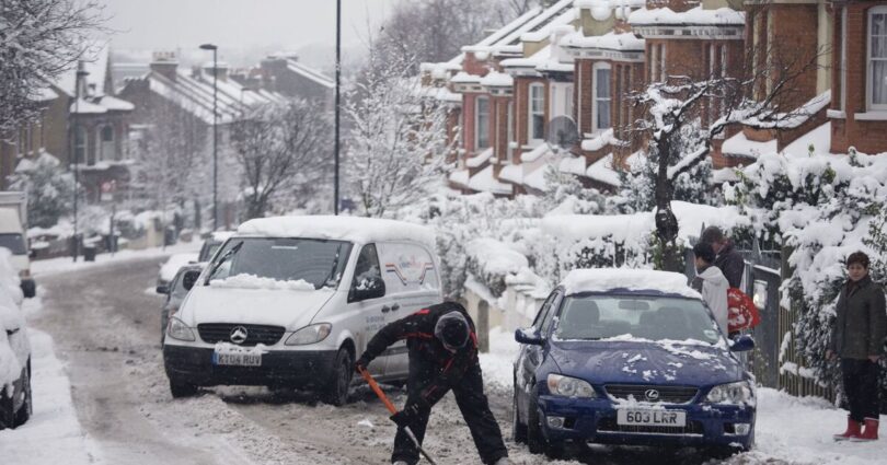
Britain is bracing for yet more wintry weather as snow is forecast as far south as London in mere weeks. New maps from WXCHARTS, which uses MetDesk data, have revealed that the period of unsettled conditions is due to hit on March 4. In less than a fortnight’s time, up to 15cm of snow is due to fall in parts of Scotland, as temperatures drop to -4C.
The worst-affected areas are expected to be the Highlands and Moray, which will both be much colder than their winter average temperature of 6C. In England, milder conditions are anticipated, with most regions avoiding the snow entirely and staying at an average of 2C.
These areas include: Derbyshire, Northumberland, North Yorkshire, and Westmorland and Furness.
Separately, the Met Office forecast for Feburary 25 to March 6 reads: « Changeable during this period with Atlantic frontal systems moving across the country and shorter dry and bright interludes in-between.
*** Ensure our latest news headlines always appear at the top of your Google Search by making us a Preferred Source. Click here to activate or add us as Preferred Source in your Google search settings. ***
« Rain and showers typically heaviest and most frequent in the west, with more sheltered eastern areas seeing much smaller amounts of rain. Often windy with a chance of gales at times.
« Temperatures well above average at first, likely falling closer to average with alternating colder and milder spells towards the end of February and into March.
« Perhaps cold enough for some sleet/snow showers in the northwest, especially over high ground, in the colder spells. »
Source link