New weather maps indicate that snow and bitter winter weather are set to hit the UK next week, with temperatures expected to drop as low as -7C. WXCharts has forecast cold weather for Wednesday (November 17) with snow and rain predicted.
Snow is forecast for north Wales (Conwy), the midlands (Peterborough, Cambridge, Northampton, Oxford, Cheltenham, Stoke), the North of England (Manchester, Leeds, Stockton, Newcastle, Carlisle, Kendal). Other areas of the UK will also be hit, with snow forecast in Northern Ireland (Derry), south Scotland (Dumfries, Galashiels, Edinburgh), central Scotland (Fort William, Aberdeen, Inverness, Perth, Dundee), and north Scotland (Wick, Ullapool).
There is also rain forecast for parts of England (Swindon, Birmingham, Liverpool, Sheffield, Hull, York). The South of England, the Midlands, Wales, and the South of Scotland will sit between 0C and -2C. The north of England will be between 0C and -4C, and the north of Scotland will be between 01C and -7C. Temperatures will be lowest in Cairngorms National Park (central Scotland) at -7C, and in the Lake District at -5C.
According to the Met Office, there will be clear skies across Scotland tonight (November 15), extending into Northern Ireland and northern England through the night, with a patchy frost likely. It will be cloudier for the rest of England and Wales, with some light drizzle in places, and remain rather mild here.
Sunday (November 16) will be dull in the south to start with, with further drizzle, and this will slowly clear. Elsewhere, largely dry with bright spells, though a band of showers is moving into the far north. Feeling colder.
There will be a cold and frosty start on Monday (November 17) with plenty of sunshine and the odd shower. There’s the risk of some rain, sleet and hill snow on Tuesday and into Wednesday (November 18 and 19), with overnight frosts.
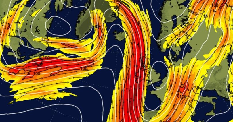
A cold northerly flow will affect the UK initially, with widespread overnight frosts, below average temperatures and frequent wintry showers, primarily in exposed northern, eastern and western coastal counties, but may feed farther inland in some places.
Towards the end of the week and beyond, a transition to a milder but more unsettled regime is likely, as Atlantic frontal systems track eastwards across or near the UK.
This will bring a chance of more widespread spells of rain or showers at times, perhaps with some occasional hill snow in the north, and the risk of some strong winds. Temperatures will tend to fluctuate from day to day, but will likely remain close to average overall.
Source link