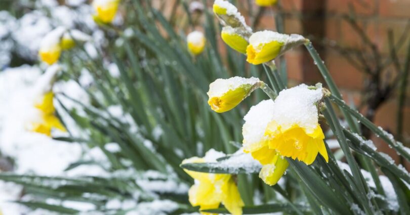
If you thought spring was in full swing, April’s weather may be about to prove you wrong. Britons are bracing for a sudden cold snap this Easter weekend, with some forecasts showing that snow could return to parts of the UK as early as Sunday, April 5.
Fresh weather maps from WXCharts suggest a blast of Arctic air will bring widespread wintry showers – and even settling snow in some regions. The maps reveal a north-south divide, with, as usual, Scotland expected to bear the brunt of the cold conditions. The Scottish Highlands look set to see the heaviest snowfall, with depths of up to 13cm. Elsewhere across central and southern Scotland, accumulations of 3-7cm are possible.
In North West England, especially across higher ground such as the Pennines, snow could also settle briefly, with 1-4cm in the most exposed areas.
The charts indicate that approximately 10 UK cities could see a brief spell of snow. These include Glasgow, Stirling, Edinburgh, Blackpool, Preston, Bolton, Bradford, Lancaster, Liverpool and Swansea at potential risk of a short-lived flurry.
Despite the dramatic charts circulating online, London and much of the South are expected to miss out on any significant snowfall. Temperatures in the capital are forecast to stay above freezing, with most precipitation falling as rain or sleet rather than snow.
The cold blast is being driven by a low-pressure system dragging chilly northerly winds down from the Arctic, temporarily replacing the milder conditions seen in recent days. Meteorologists often refer to this pattern as a ‘fool’s spring’, where warmer weather is abruptly interrupted by a late-season cold snap.
For many in the South, it may feel more like a cold and blustery spring day. But further north, Easter weekend could bring a brief and unexpected return to winter.
The Met Office long range forecast covering April 4-April13 states: « It is increasingly likely that unsettled conditions will affect the UK over the Easter Holiday weekend, with the potential for strong winds and heavy rain at times. The wettest and windiest weather is more likely towards the west and north of the country.
« Beyond Easter, a broad northwest-southeast split is most likely, though the extent of high pressure into southern areas is unclear. That said, northern and western parts are more likely to remain rather unsettled overall, with further spells of wind and rain, and areas further southeast should see the best of the drier, clearer interludes. Temperatures probably fairly close to average overall, but occasional warmer spells are possible in the south. »
Source link