The Met Office has named parts of the UK where sleet and snow could fall as colder air moves in next week. Forecasters say wintry showers will push south across the country on Tuesday, bringing a sharp change after a warm and sunny weekend.
Temperatures are expected to drop from the mid to high teens to nearer seasonal averages by mid-week. Windy conditions are also likely, particularly across northern regions. Sunshine and scattered showers are forecast to develop as the week progresses.
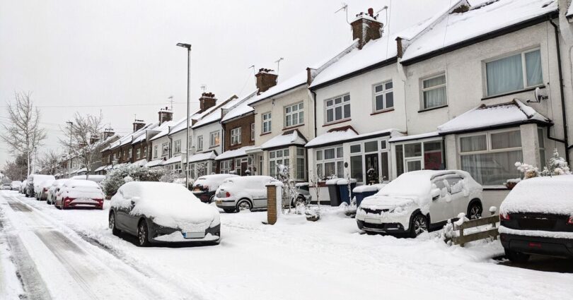
Some of these showers could turn particularly wintry, especially over higher ground. Snow is most likely in northern parts of the UK as a cooler north-westerly airflow becomes established. Met Office Chief Forecaster Steve Willington said: « While the early part of the period brings warm sunshine for many, it’s not unusual to see colder spells and even some wintry showers in March. As we head into next week, a shift to a cooler north-westerly flow will bring a drop in temperature and more unsettled weather, including some hill snow in the north and brisk winds at times. This pattern is entirely typical for the time of year. »
Parts of the north – showers falling as sleet and snow through mid-week
Higher ground in the north – wintry showers developing from Sunday
Northern and western areas – rain spreading early next week
Scottish mountains – precipitation occasionally turning to snow on Monday and Tuesday
Northern coastal areas – risk of stronger winds and coastal gales
Lower levels in the north – snow could possibly reach lower ground later on Wednesday
By Wednesday, the UK will be in a cooler and more unstable north‑to‑north-westerly flow, the Met Office reports, bringing frequent showers, with some heavy and wintry over higher ground.
Snow could possibly reach lower levels in the north later in the day with temperatures near or a little below average.
Towards the end of the week, higher pressure is expected to build again from the west, reducing showers and easing winds.
Temperatures are likely to remain on the cool side, however, with some overnight frost possible.
Source link