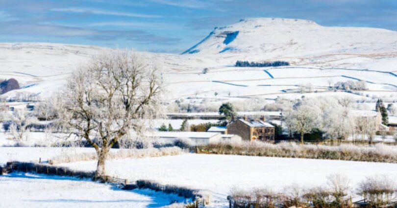
The UK is set to be hit with a 24-hour blizzard this weekend, with 29 cities to see snow.
The latest weather maps and data from WXCharts has forecast snow to sweep across the UK on Friday and Saturday, bringing with it heavy rain, wind and bitterly cold weather.
Rain will sweep along the east coast of the UK as well as south Scotland and north England over the weekend. This weather is forecast to last from 9pm on Friday (February 8) until 9pm on Saturday (February 9).
Snow will cover 25 cities in England, including Bath, Birmingham, Bradford, Bristol, Coventry, Derby, Doncaster, Durham, Gloucester, Hereford, Hull, and Leeds.
It will also hit Leicester, Lichfield, Lincoln, London, Newcastle-upon-Tyne, Nottingham, Ripon, Sheffield, Sunderland, Wakefield, Wolverhampton, Worcester, and York.
Five cities in Scotland (Aberdeen, Dundee, Dunfermline, Perth, and Stirling) will also see snow. There could also be showers of snow across other parts of the UK.
Temperatures will be lowest in central Scotland at -3C. The rest of Scotland, as well as Wales and Northern Ireland will sit between -2C and 0C. All of England will see temperatures between 0C and 2C.
The Met Office said on Thursday, high pressure will bring dry and settled conditions with frost and any fog lifting for a mostly sunny day. Patchy cloud will develop in the south, turning breezy more widely.
From Friday to Sunday (February 7-9), high pressure will move away to the northeast, allowing a cold southeasterly wind to develop, introducing more cloud and wintery showers.
High pressure is expected to remain slow moving to the northeast of the UK.
As a result, breezy winds across many areas are likely to come from the east or southeast, and cloud amounts are expected to increase as continental air is gradually drawn across the UK.
The winds and increased cloud amounts are expected to exacerbate the cold feel, with temperatures often below average. Although many places across the country will remain dry, southern and southwestern areas in particular may see some wintry precipitation at times.
Overnight frost is likely to feature during this period, particularly where skies are clear, however where winds remain breezy this will decrease the overall risk of a hard frost forming.
Source link